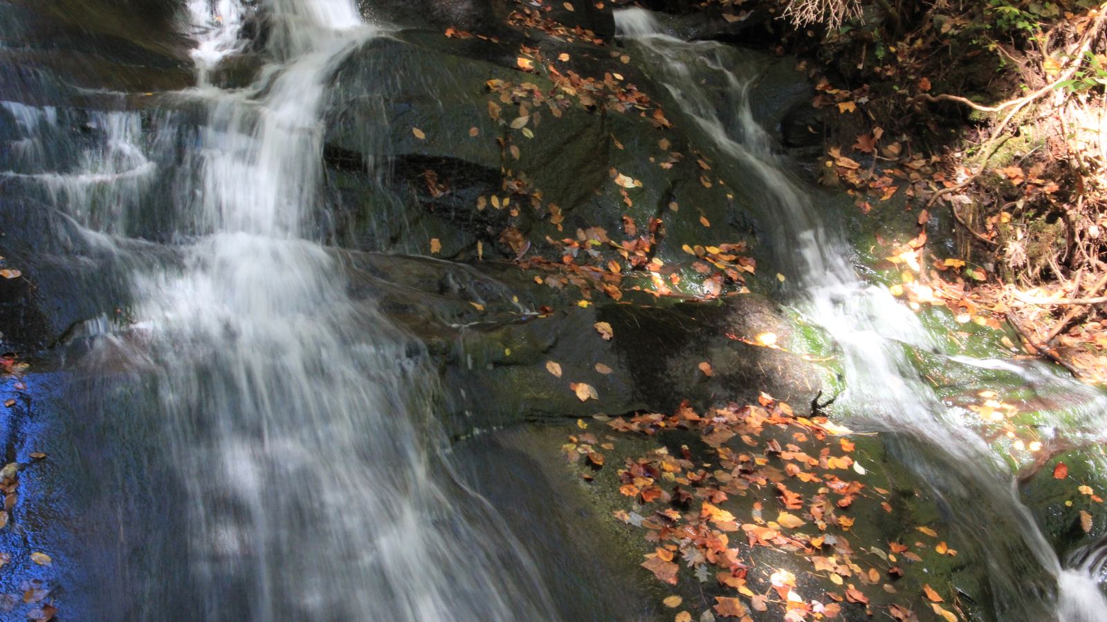
Waterfalls & Hikes Near Blue Ridge, Georgia
Prices & schedules checked October 18, 2026
Blue Ridge is a Benton MacKaye Trail Town. The trail starts at Springer Mountain, alongside the Appalachian Trail, and runs about 300 miles to the Great Smoky Mountains; it’s marked with white diamond blazes (Chamber). These are the easy classics. There are no bookable tours for them, so the links go to the trail association and the Chamber, and they earn us nothing.
| Hike | Distance | Difficulty | Highlight |
|---|---|---|---|
| Fall Branch Falls | 0.5 mile (one way) | Easy / intermediate | A 100-foot rock cliff, viewing platform and benches |
| Long Creek Falls | 2 miles (day hike) | Easy | A 50-foot falls near where the AT and BMT split |
| Toccoa River Swinging Bridge | About 3 miles from Hwy 60, or a shorter walk from FS 816 | Varies by route | A long suspension footbridge over the Toccoa |
Fall Branch Falls
The Benton MacKaye Trail Association calls it “a must do hike for the entire family”: a half-mile, moderately easy trail lined with mountain laurel and rhododendron, with resting benches and a viewing platform at the bottom of the falls, which spill down a 100-foot rock cliff. Want more? Continue north on the BMT over Rocky Mountain to Weaver Creek Road, 6.2 miles one way. Dogs on leash are allowed.
Long Creek Falls
A fairly easy, kid-friendly two-mile day hike from the Three Forks area (FS Road 58), following Long Creek to a 50-foot falls. The blue-blazed side trail to the falls is at about 1.1 miles, per the Chamber. The access roads are long and partly gravel, so allow time (directions on the Chamber page). Dogs on leash are allowed.
Toccoa River Swinging Bridge
A suspension footbridge carries the Benton MacKaye Trail across the Toccoa River. The trail association gives its span as 260 feet and the Chamber as 265 feet. The Chamber says it’s a 3-mile hike from Highway 60, and the bridge can also be reached from Forest Service Road 816, off Hwy 60 south of Morganton. Strong hikers can walk 7.8 miles on from Long Creek Falls to the bridge, which needs a car shuttle.
Free maps of both falls and road directions are available at the Fannin County Welcome Center in Blue Ridge, open seven days a week (trail association). Check trail conditions before you go.
Prefer a guide?
We didn’t find bookable guided hikes for these trails on GetYourGuide, and couldn’t check Viator. The day tour from Atlanta visits Amicalola Falls and Vogel State Park’s Trahlyta Falls instead.
Sources
- Benton MacKaye Trail Association — Hikes with Splendid Waterfalls (Fall Branch 0.5 mi/100 ft; Long Creek 2 mi/50 ft; 260-ft bridge; 7.8 mi; welcome center maps)
- Fannin County Chamber — Benton MacKaye Trail (300 miles, white diamond blaze, Three Forks, Long Creek side trail at 1.1 mi, 265-ft bridge, 3 miles from Hwy 60, FS 816)